Explore how Artificial Intelligence is Transforming Home Archaeology and Historical Mapping
Introduction
With the advent of artificial intelligence (AI), the field of archaeology, particularly home archaeology — the study of household items and personal artifacts — has witnessed groundbreaking advancements. Similarly, historical mapping has transformed with the integration of AI-powered technologies. This blog article explores how AI is revolutionizing home archaeology and historical mapping, making it possible for us to delve deeper into our past with unprecedented accuracy and insight.
What is Home Archaeology?
Home archaeology is a subfield focusing on the study and interpretation of personal and household items such as artifacts, utensils, furniture, and other domestic relics found in archaeological sites. By analyzing everyday objects, researchers glean insights into the daily lives, cultures, and behaviors of past populations. Understanding the domestic context provides a rich source of information about historical societies on a more personal and intimate level.
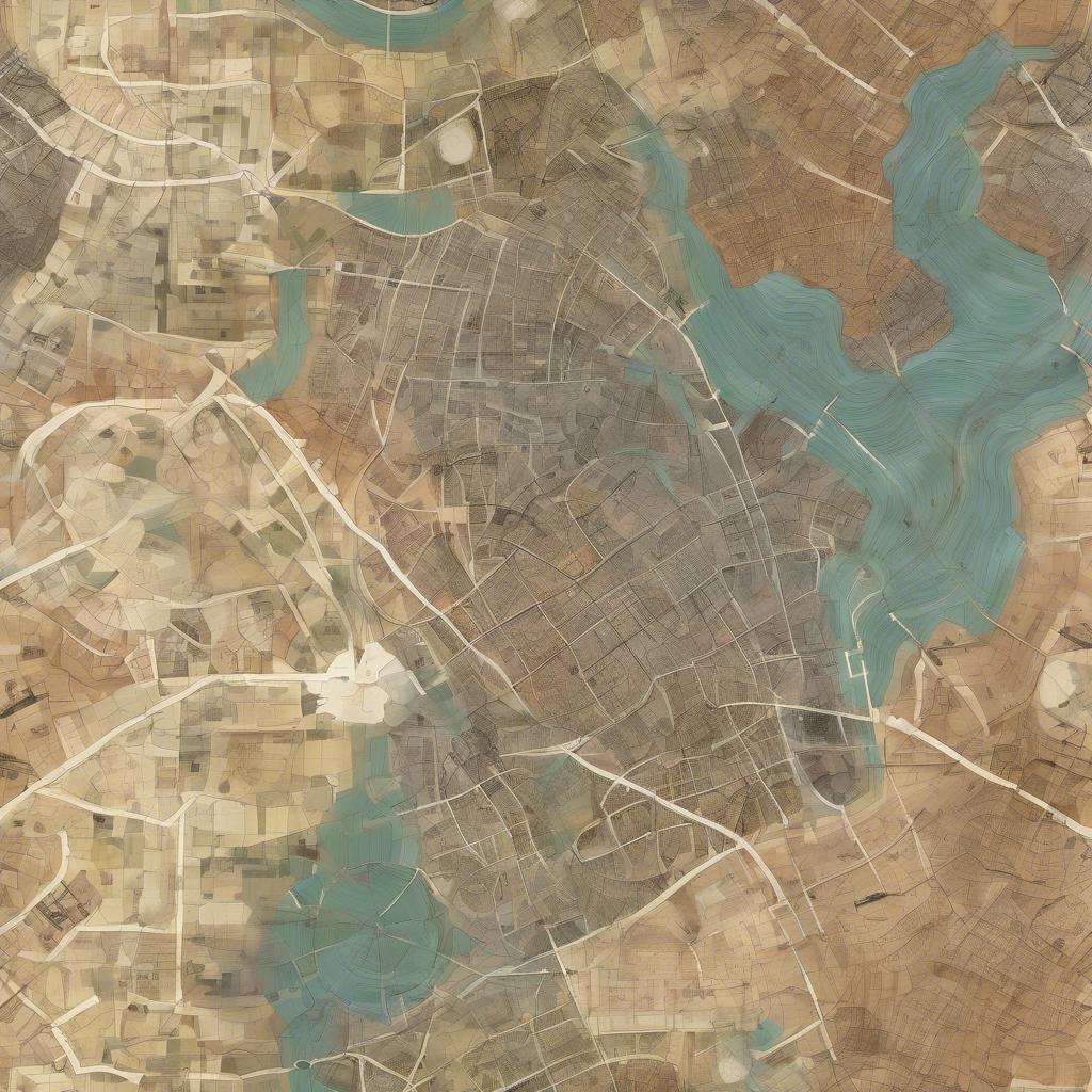
Historical Mapping Defined
Historical mapping involves the creation and interpretation of maps that depict historical landscapes and territories. These maps help us visualize how geographic regions have evolved over time, providing a spatial dimension to our understanding of history. Traditionally, historical mapping relied on old maps, cartographic records, and field surveys. However, AI has brought a new depth and precision to this field.
Applications of AI in Home Archaeology
1. Artifact Identification and Classification
AI, specifically machine learning models such as convolutional neural networks (CNNs), can be trained to identify and classify artifacts based on images. For instance, digitized images of pottery shards, tools, or household items can be fed into an AI model that has been trained on a vast dataset of labeled artifacts. The AI system can accurately classify an object's type, age, and possibly its origin based on visual patterns and features it has learned from training data.
2. Pattern Detection and Analysis
AI can identify patterns within large datasets that might be impossible or time-consuming for human researchers to detect. For instance, AI can analyze the distribution of household items within a dig site to identify potential usage patterns, such as where cooking typically took place or where individuals might have slept. By examining the spatial distribution and frequency of artifact types, AI assists archaeologists in making hypotheses about ancient domestic life.
3. Predictive Modeling for Archaeological Sites
Machine learning algorithms analyze various factors such as soil composition, geographical features, and historical records to predict where undiscovered artifacts or archaeological sites might be located. This predictive modeling can help narrow down the areas that need to be explored, thereby making archaeological digs more efficient and targeted.
4. Automated Data Collection and Processing
Drones equipped with cameras and LiDAR (Light Detection and Ranging) sensors can capture high-resolution images and topographical data of large areas. AI algorithms process this data to identify potential archaeological features such as buried structures or changes in vegetation that indicate an underlying historical site. This technology makes it possible to survey vast areas quickly and efficiently.
Applications of AI in Historical Mapping
1. Digitization and Restoration of Old Maps
Old maps often suffer from deterioration due to age, making some parts illegible. AI-powered image processing techniques can restore damaged parts of historical maps by analyzing the remaining portions and filling in gaps based on learned patterns and historical context. This makes it possible to preserve and digitize valuable historical maps for future research.
2. Georeferencing Historical Maps
Georeferencing involves aligning old maps with modern geographical coordinates. AI algorithms can match features such as rivers, mountain ranges, and historical landmarks found in old maps to their corresponding locations on contemporary maps. This makes it easier to compare historical and current geographical contexts and understand changes over time.
3. Automatic Transcription and Translation
Historical maps often contain annotations in ancient scripts or languages. AI-powered natural language processing (NLP) algorithms can transcribe handwritten text and even translate it into modern languages. This capability aids researchers in interpreting the information on historical maps accurately.
4. 3D Reconstructions of Historical Landscapes
Using AI and machine learning algorithms, it is possible to reconstruct historical landscapes in three dimensions. By integrating data from historical maps, archaeological excavations, and other records, AI generates detailed 3D models depicting what a region might have looked like centuries ago. Such reconstructions can be invaluable for educational and research purposes.
5. Analysis of Historical Trade Routes and Urban Development
AI can analyze historical maps to identify trade routes, urban development patterns, and migration trends throughout history. By cross-referencing historical maps with other data such as climate records and economic indicators, AI can provide a comprehensive understanding of how civilizations developed and interacted over time.
Conclusion
Artificial intelligence is transforming the fields of home archaeology and historical mapping, offering new tools and capabilities that enhance our understanding of the past. From identifying and classifying artifacts to digitizing and reconstructing historical landscapes, AI makes it possible for us to explore history with unprecedented depth and precision. As AI technologies continue to evolve, they hold the promise of even more exciting discoveries and insights into our shared human heritage.
Share This
Latest Blog

A Ascensão das Plataformas de IA No-Code
29 Jun 2026
A Ascensão dos Agentes de IA Autônomos
28 Jun 2026

L'Ascension des Influenceurs IA
27 Jun 2026

Die Zukunft der KI im Transportwesen
25 Jun 2026
Как ИИ Улучшает Виртуальную Реальность
21 Jun 2026
AI and Cybersecurity: The Next Digital Arms Race
17 Jun 2026
El Futuro del Hardware y los Chips de IA
15 Jun 2026